US: Magnitude 7.0 earthquake rocks Alaska
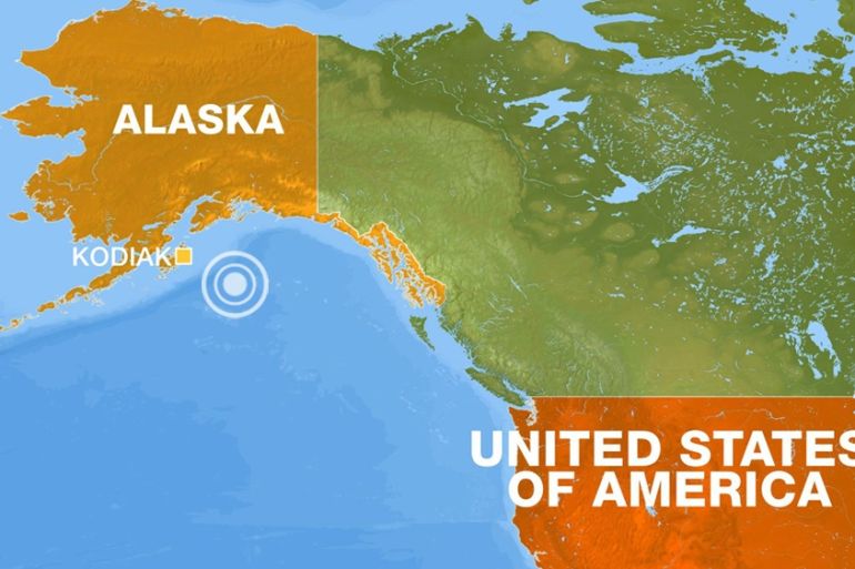
USGS says the earthquake was centred about 12km north of Alaska’s largest city, Anchorage.
Published On 30 Nov 2018
A magnitude 7.0 earthquake has rocked Alaska, the northwestern tip of North America, officials in the United States have said.
The US Geological Survey (USGS) on Friday said the earthquake was centred about 12km north of Alaska’s largest city, Anchorage.
Keep reading
list of 4 itemsTaiwan hit by major series of aftershocks following April 3 earthquake
How Taiwan learned from the past to reduce the risk from earthquakes
How is Afghanistan coping six months after deadly quakes?
An Associated Press reporter working in downtown Anchorage saw cracks in a two-story building after the quake. It was unclear whether there were injuries.
People went back inside buildings after the earthquake but a smaller aftershock a short time later sent them running back into the streets again.
Photographs posted to social media sites showed damage that included collapsed ceiling tiles at an Anchorage high school and buckled roadway pavement in places.
Pictures of destruction caused by 7.0 earthquake in Anchorage, Alaska emerging on social media. Damage includes road collapses, cracked buildings, store shelves toppled over. Series of smaller quakes also rocking region in last hour. (Photo courtesy Josh Bierma.) pic.twitter.com/i9ervd3tFh
— CBC News Alerts (@CBCAlerts) November 30, 2018
Shortly after the quake, a tsunami warning was issued for the southern Alaska coastal areas of Cook’s Inlet and part of the Kenai peninsula.
But the warning was withdrawn by the US officials minutes later, The Associated Press said.
Earthquake-prone
Alaska averages 40,000 earthquakes every year, with more large quakes than the other 49 states combined.
Southern Alaska has a high risk of earthquakes due to tectonic plates sliding past each other under the region.
According to the USGS, the Pacific plate is sliding northwestward and plunges beneath the North American plate in southern Alaska, the Alaska Peninsula and the Aleutian Islands.
On March 27, 1964, Alaska was hit by a magnitude 9.2 earthquake, the strongest recorded in US history, centred about 120km east of Anchorage.
The quake, which lasted over four minutes, and the tsunami it triggered, claimed about 130 lives.
Source: News Agencies