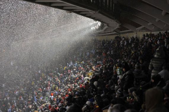
Another winter storm hits US
Snow and ice cause problems across a huge swathe of the US.

As with most storms of this nature, it results from a clash between warm, moist air pushing northwards from the Gulf of Mexico, and bitterly cold air driving southwards from the Canadian Arctic.
This has been a very cold winter across much of North America and the intensity of the cold air is remarkable. In Calgary, Canada temperatures have been more than 20C below average in recent days.
Keep reading
list of 4 items‘Nothing left’: How climate change pushes Indigenous people from their land
Are seed-sowing drones the answer to global deforestation?
Rainfall set to help crews battling wildfire near Canada’s Fort McMurray
That cold air has penetrated as far south as Texas. Here, Lubbock, in the northwest of the state, has seen temperatures fall from 27C on Saturday to a bone-chilling minus 8C on Sunday morning. The National Weather Service issued a ‘hard freeze’ warning for the Houston-Galveston region.
The bad weather has seen a mixture of rain, sleet, snow and freezing rain. The latter weather type, which consists of supercooled water which freezes upon contact, hit the state of Kentucky, all but bringing transport to a standstill.
The weekend snow caused severe disruption to flight schedules with Dallas, Chicago and Newark, New Jersey being badly affected. Almost half of all scheduled flights out of Washington DC were cancelled for Monday.
The snow is expected to continue heading northeastwards through Monday with Washington DC expected to receive between 15 and 30cm. Further north, the impact of the storm is expected to be significantly less with just 2 to 5 cm for New York and Boston.
The cold air is expected to relax its grip across the continent during the early part of next week. But in the immediate aftermath of the weather front, and with extensive snow cover, Monday night temperatures could fall as low as minus 15C in the nation’s capital.