Satellite image shows smog in India and Pakistan
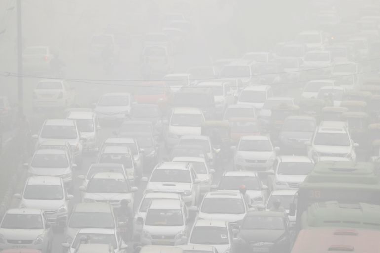
Smog in and around the cities of Lahore and New Delhi has reached new stretch over the past few days.

The recent burning of crops in northern India, combined with fog, dust and air pollution from vehicles and factories, has resulted in a thick layer of smog covering several cities in India and Pakistan.
It’s one of the worst cases of air pollution in India and New Delhi has declared a public health emergency, closing down schools and offices.
Keep reading
list of 4 itemsCanada wildfires spur evacuation orders, warnings: What you need to know
Evacuation orders issued as wildfire grows near Canada’s Alberta oil patch
Energy summit seeks to curb cooking habits that kill millions every year
The following graphic shows satellite imagery of the smog in contrast with the aerosol optical thickness (AOD) in the affected areas, which reflects the amount of pollutants available in the air.
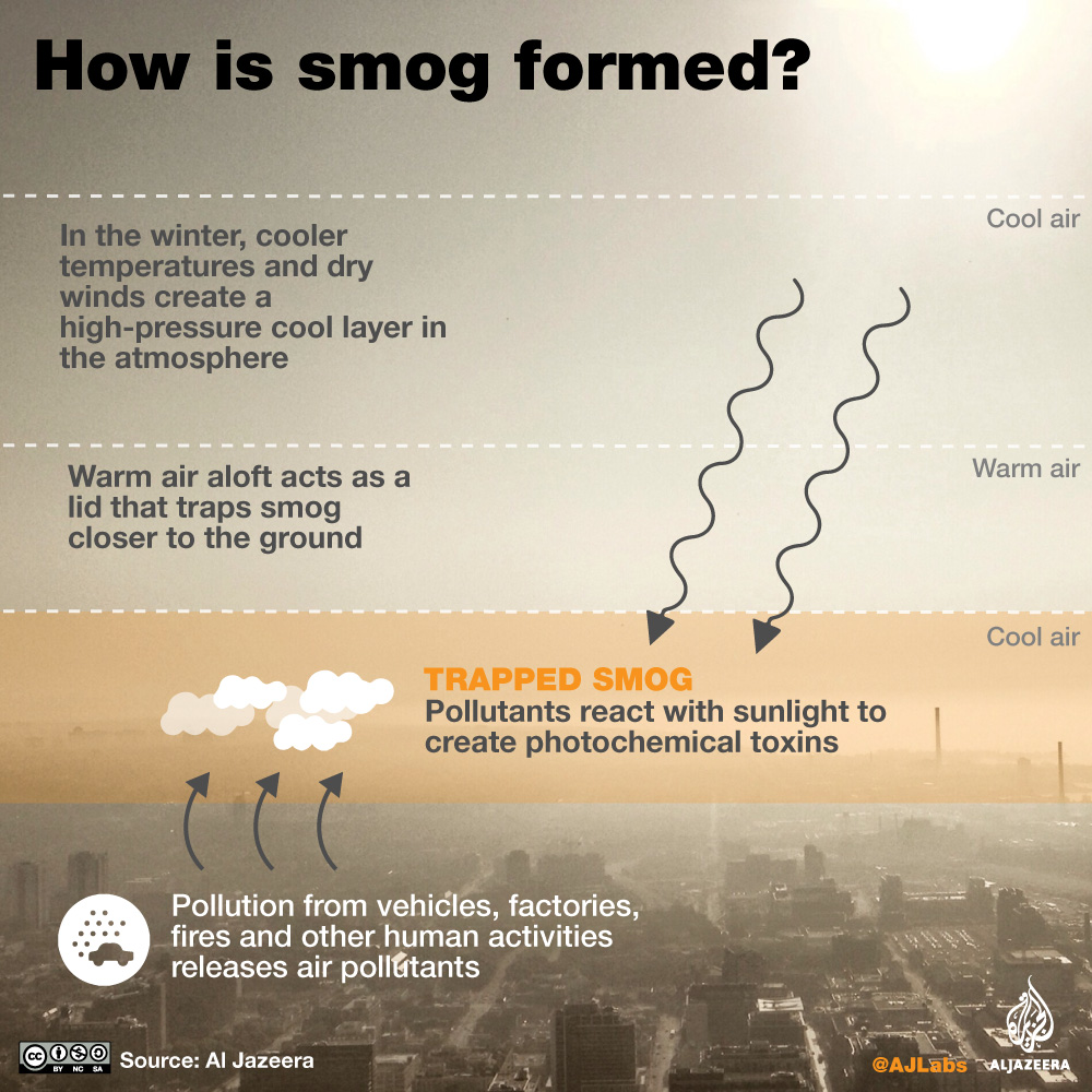
How is smog formed?
Smog results when photochemical reaction takes place between air pollutants from crop burning, vehicles and others sources, and sunglight and heat. The resulting thick haze – also known as ground level ozone – gets trapped near the earth due to warm air in atmosphere.
The following graphic reflects the process of smog formation.
