Australia’s record heatwave worsened by delay in monsoon
Finally, the wet season is in sight in northern Australia, but the southern heatwave waxes and wanes.
Published On 21 Jan 2019
Correction21 Jan 2019
Correction: This story stated the monsoon 'moved to' northern Australia. That was incorrect. The monsoon developed there.
Australia is having an unusually hot summer as the heatwave continues to break records. This is true for night-time lows as well as daytime highs.
On Thursday, Blair Trewin, senior climatologist at the Bureau of Meteorology, said a minimum of 35.9 degrees Celsius was recorded at Noona in western New South Wales, while 35.6C was measured at Borrona Downs.
Keep reading
list of 4 itemsEurope endured record number of ‘extreme heat stress’ days in 2023
Turtles swimming to extinction in Malaysia as male hatchlings feel heat
Dystopia of Seoul: AI re-composes Vivaldi concerto using climate data
“Both of these broke the previous Australia record which was set in 1982 in Arkaroola, South Australia.”
Trewin said the current heatwave was shaping up as one of the most significant on record in inland New South Wales.
“We have now seen five days in a row when temperatures remained in the 40s, and probably the only event that’s comparable on a statewide level was the January 1939 heatwave,” he added.
Queensland also broke its record for the most consecutive days above 40C after Cloncurry and Camooweal, in the state’s northwest, recorded 37 such days between December 16 and January 20.
The previous record was 31 days, set as recently as 2012.
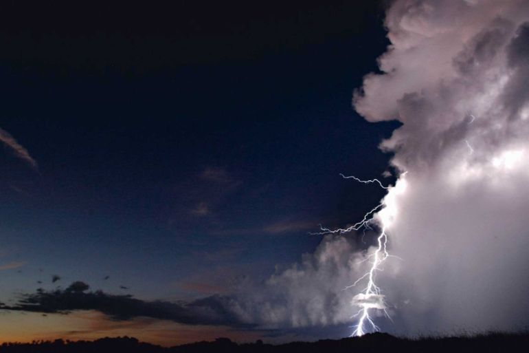
Monsoon delayed
The delayed monsoon rains have contributed to the heatwave, at least in northern Queensland.
Despite two cyclones flooding the northeast peninsula of tropical Queensland, the area has been much drier than normal and consequently, less cloudy.
So far in this wet season, Darwin Airport has recorded 439mm of rain from October 1 until January 20. On average during this period, Darwin sees 719mm, making it the driest start to the wet season since 1992.
Two things have conspired to delay the monsoon. First, an El Nino event has been slowly developing, which tends to take the rain away from northern Australia. And the second, over the last two weeks, the repressive phase of Madden-Julian oscillation (MJO) has been building over Indonesia and tropical Australia.
The MJO is a natural wave in the upper atmosphere which alternately encourages or discourages thunderstorm growth. It has been particularly strong in its repressive phase recently and there is a resultant thinning of the normal thunderstorm development over the region.
The monsoon developed in northern Australia this weekend and will slowly edge its way south, most likely arriving around Tuesday or Wednesday.
The latest the monsoon trough has ever arrived was January 25 in 1973, making one of the most delayed onsets of the rains on record.
It is unlikely to affect the heatwave in the south. Perth recorded 42C on Sunday, 10 degrees above normal but still four degrees off the record.
Nevertheless, the heat is due to spread into southern Australia over the next two days and then reinvigorate the heatwave in the southeast.
Source: Al Jazeera, News Agencies