Atlantic hurricane season flickers into life
Several cyclones are likely to develop in coming days, as September – the most active month – approaches.
Published On 23 Aug 2016
It has been a sluggish start to the Atlantic hurricane season, which began officially on June 1.
Since then, Tropical Storms Bonnie, Colin, and Danielle all failed to develop into full-blown hurricanes.
Keep reading
list of 4 itemsCoral reefs around the world experiencing mass bleaching, scientists say
Mass evacuations as floods in Russia’s Kurgan region set to peak
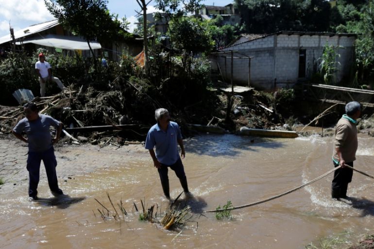
Floods kill 58 in Tanzania with heavy rains persisting
Earl became the first hurricane of the season, causing death and destruction as it brought damaging winds and flooding rain to the southern Caribbean.
The worst of its weather was reserved for the Dominican Republic, Honduras, Belize and southern Mexico. Landslides were largely responsible for the deaths of more than 50 people.
Now, there at least three cyclones, or areas for likely cyclone development, across the Atlantic basin.
The latest named storm is Tropical Depression Fiona. Fiona is currently a “fish storm”, lying 800km south-southeast of Bermuda. Strong wind shear, a change of wind speed and direction with height, is playing a major part in inhibiting Fiona’s further development.
Nevertheless, sea surface temperatures of 29 to 30C, decreasing wind shear and increasing humidity will help Fiona to persist for a few days. Assuming Fiona’s demise is met over the ocean, it will break a sequence of five consecutive landfalls for the first five named storms of 2016.
Another potential tropical storm lies 600km to the east of the Leeward Islands. According the US National Hurricane Center, this tropical wave, referred to as Invest 99L (Invest standing for investigation) has a 60 percent chance of becoming a cyclone in the coming days.
This storm is forecast to track close to the Bahamas, but there is great uncertainty in its movement at that stage. Nevertheless, it is possible that 99L could make landfall as a major storm across the east coast of the US next week.
Much less of a threat, as yet, is Invest 90L, still on the other side of the Atlantic, close to the Cape Verde islands. If this tropical wave is to become a threat to anyone, it will have to overcome the “cyclone graveyard” of the central Atlantic, where the air is dry and dusty, the surface waters significantly cooler, and atmospheric winds generally unfavourable for development.
Yet these are exactly the conditions that Hurricane Earl managed to overcome. The immediate future of 90L is quite promising, with low wind shear and sea surface temperatures of 28C (26.5C being the lower limit for storm development).
It is still likely that the main activity of hurricane season is yet to come, with September usually being the most active month.
Source: Al Jazeera, News Agencies