The North Pole is too warm, again
At no point this month has the Pole been colder than average.
Published On 24 Nov 2016
The last time the North Pole registered a temperature above freezing was as recently as last week.
This despite the 30-year average for November being a high of -27C and a low of -30C in a 24-hour period.
Keep reading
list of 4 itemsAfter the Hurricane
World’s coral reefs face global bleaching crisis
Why is Germany maintaining economic ties with China?
Between the autumnal equinox and spring equinox there really is no day; it is the polar night and the sun stays below the horizon.
Temperatures rise only when a warmer wind blows in.
The North Pole has never recorded temperatures above freezing in January, February, March or April.
Until last year, that was the case in December, too. But on December 30, 2015, 0.7C made a new record.
Who is affected by climate change, and how?
This year the lowest temperature within 2 degrees latitude of the geographic North Pole was a mere -13C on November 18.
A new record warm day was set on November 15, with a measure of 1C.
|
|
The cap of cold air over the North Pole can be imagined as icing on the top of a football.
The Earth is the football and the icing has a wavy edge.
The cold air that this represents does not sink smoothly and in actuality the football rotates at a different speed to the icing.
The edge of this cold air, the Arctic Front, has just sunk into Northeast Asia and is now bringing snow to North America, but the Arctic itself, specifically the North Pole, is unusually warm.
Imagine, again, pushing your finger up into the icing, stealing a bit of sweetness.
You have made the wavy edge even more exaggerated. Similarly a southerly wind can push back the Arctic Front and create a finger of warmth that reaches to the Pole.
This is happening at the moment, partly because large Atlantic depressions are forcing a lot of relatively warm air ever northwards.
Warming oceans produce more active depressions – areas of low pressure – which produce stronger winds.
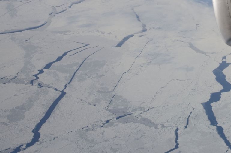
Arctic Sea ice coverage is at a 37-year record low for mid-November, almost two million sq km less than the 1981-2010 daily mean, according to the National Snow and Ice Data Center.
This stops the Arctic air cooling down as much as it used to when the winter freeze-over was guaranteed.
The water temperature in the Arctic Ocean, Barents and Kara seas is much higher than normal, by about 4C.
All these factors have led to air temperatures within the Arctic Circle, and especially near the North Pole, being 10 to 15C above the 30-year average.
This month will probably lead to yet another record; that of the warmest Arctic November on record.
|
|
Source: Al Jazeera