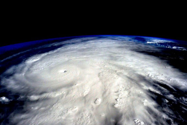
‘Average’ hurricane season predicted
NOAA expects 2016’s storm count to be near-normal, but other forecasters disagree.
Published On 28 May 2016
The US National Oceanic and Atmospheric Administration’s climate prediction centre is expecting a near-normal Atlantic hurricane season in 2016.
In its prediction for the season, which runs from June 1 to November 30, the NOAA expects there to be 10 to 16 named storms, four to eight hurricanes, and one to four major hurricanes, with “major” deemed to be Category 3 or above on the five-point Saffir-Simpson scale.
Keep reading
list of 4 itemsInside the pressures facing Quebec’s billion-dollar maple syrup industry
Coral reefs around the world experiencing mass bleaching, scientists say
Mass evacuations as floods in Russia’s Kurgan region set to peak
In making the announcement, the NOAA’s Dr Kathryn Sullivan was eager to emphasise that, “near-normal” may sound sort of encouraging, [but these figures] compared with the past three years … actually suggest we could be in for more activity than we’ve seen in recent years.”
The long-term average for Atlantic named storms, hurricanes and major hurricanes is 10.1, 5.9 and 2.5 respectively. The figures for the past three years were as follows:
2015: 11 storms, 4 hurricanes, 2 major hurricanes
2014: 14 storms, 2 hurricanes, 0 major hurricanes
2013: 14 storms, 2hurricanes , 0 major hurricanes
In 2013 and 2014 the low number of hurricanes was largely the result of large amounts of dust, originating from the Sahara Desert, blowing across the Atlantic. Dust tends to act as a shield, reducing the amount of solar radiation reaching the surface of the Earth. It can result in a reduction of sea surface temperatures by up to 1C.
Sahara dust also forms the Sahara Dust Layer which sits just above the warm, moist air of the trade winds below. In effect, this puts a ‘lid’ on the atmosphere, inhibiting the formation of convective clouds which are the precursor to hurricane development.
In 2015, hurricane activity was diminished by the presence of El Nino. Although this is a phenomenon of the central and eastern Pacific, it has a knock-on effect around the globe. In El Nino years, wind shear, a change of wind speed and direction with height, tends to increase. This acts against the development of hurricanes.
A more active season in 2016 is likely because, not only has El Nino largely disappeared, but, according to NOAA, there is 70 to 75 percent probability of a weak to moderate La Nina forming during the third quarter.
The development of a more favourable La Nina is behind the far more bullish predictions from other creditable forecasting organisations.
Colorado State University predicts an “average” season with 13 named storms, while the UK Met Office expects 14 storms to develop. The Cuban Met Service, which has a long and illustrious history of storm prediction, thinks 12 named storms are likely.
At least two organisations expect a significantly more active season. North Carolina State University is predicting 15 to 18 named storms, while Penn State, which has a very good track record over the past decade, is expecting 19 named storms.
Of course, the Atlantic is a big place. Some storms are nothing more than a “fish storm”, sitting over open water. Others can have devastating consequences. It was as recently as October 2015 when Hurricane Patricia, the second-most intense cyclone ever recorded, hit Mexico. Thankfully, Patricia missed any major population centres, but who really knows what 2016 has in store?
Source: Al Jazeera, News Agencies