An icy blast hits New Zealand
Even Auckland reports snow
Published On 15 Aug 2011
 |
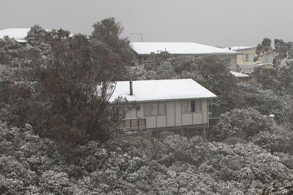
| The winter’s storm brought the heaviest snow that the North Island of New Zealand has seen for many decades [AFP] |
It’s the middle of winter in New Zealand, and don’t they know it.
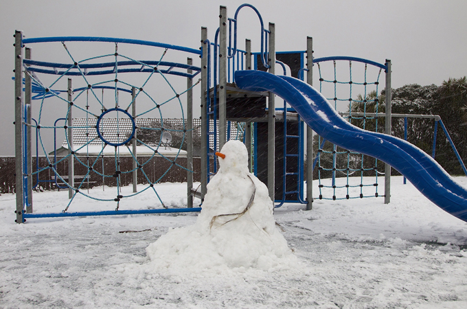
On Monday, a polar blast brought blizzards to much of the South Island, and even produced snow as far north as Auckland.
Keep reading
list of 4 items‘Mama we’re dying’: Only able to hear her kids in Gaza in their final days
Europe pledges to boost aid to Sudan on unwelcome war anniversary
Birth, death, escape: Three women’s struggle through Sudan’s war
The South Island is used to seeing snow, but this storm was so severe that airports were closed in Christchurch, Queenstown and Dunedin. Many schools were also closed and even some highways were rendered impassable.
Snow is far rarer in the north of the North Island; in fact this is believed to be Auckland’s first snowfall since the 1930s. Any lying snow has now been washed away, as the showers turned to rain again.
However, even after the snow melted, the storm still continued to rage. Wellington is known as the windy city, and it certainly lived up to its name; as temperatures struggled to just 6 Celsius, the winds gusted up to 90 kph. Power cuts hit the capital, as well as Christchurch and the Coromandel Peninsula to the north of Auckland.
Fortunately this severe weather was well forecast, and people were warned that they should stay home and prepare for the worst-case scenario of having no power. The next few days are also likely to be very cold.
Monday is expected to be the most severe day of weather for New Zealand, but for the next few days, polar winds will continue to blast cold air across the country. Many places are likely to see more snow and Wellington is still forecast to see winds of 45 kph on Thursday before the winds finally begin to ease during the evening.
Source: Al Jazeera