Japan Braces for Typhoon Ma-On
Damage from storm surge, flooding rain and strong winds expected
Published On 17 Jul 2011
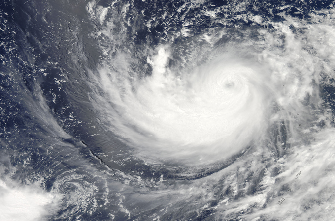 |
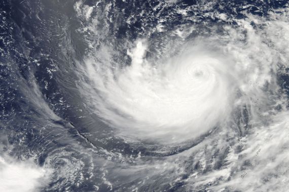
| Typhoon Ma-On in the western Pacific Ocean [NASA] |
Typhoon Ma-On is the eighth tropical system in the 2011 Western Pacific typhoon season and it looks to also be the strongest to affect Japan so far. Earlier this year Typhoon Songda battered Okinawa with high winds and heavy rain, before moving to mainland Japan and weakening further.
Winds with Typhoon Ma-On are expected to increase to 230 kph, gusting to over 270 kph within the next 24 hours. This would be the equivalent to a category 4 hurricane in the Atlantic basin. As the storm progresses northward then northeastward, winds will begin to ease.
Keep reading
list of 4 itemsAfter the Hurricane
World’s coral reefs face global bleaching crisis
Why is Germany maintaining economic ties with China?
A landfall is expected along the southerly coast of Honshu early Wednesday morning. Strong winds, flooding rains and storm surge will continue to affect the southern coast all the way through Wednesday night before Ma-On makes its way back out into the Pacific.
Up the coast the citizens of Miyagi Prefecture, devastated by the 2011 earthquake, will also be on alert as storm surges of up to one and a half meters potentially causing more coastal damage.
After three tropical cyclones have affected the region in May and June, the Climate Impact Centre at the City University of Hong Kong are now predicting that a total of seven could be seen through the rest of the year. Normally Japan and the Korean Peninsula see a yearly average of four cyclones.
Source: Al Jazeera