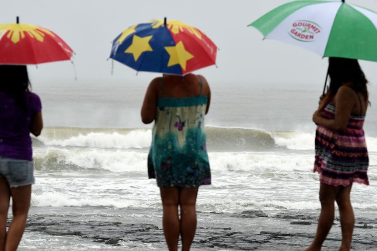
Western Australia is braced for Storm Stan
Expected to be the first named storm of the season, tropical cyclone Stan is heading towards Port Hedland.

A developing tropical cyclone is expected to become the first named storm of the Australian region for the 2015-16 season as it makes landfall on the northern coast of Western Australia.
As predicted by the country’s Bureau of Meteorology, the season, which runs from November 1 to April 30, has got off to a slow start. To date, only Tropical Low 05U has had any significant effect on the country, bringing heavy rain to the Northern Territory over the Christmas period.

Pre-season forecasts by the bureau suggested a below-average season, partly as a result of the ongoing strong El Nino. In an average season, the country would be expected to see 11 storms. To date only 05U has made landfall.
Keep reading
list of 4 itemsAfter the Hurricane
World’s coral reefs face global bleaching crisis
Why is Germany maintaining economic ties with China?
Their prediction for the northwest of the country was that there was an 85 percent chance of fewer than five storms – and with the season almost halfway through, that is looking increasingly likely.
At 03:00 GMT on Friday, the cyclone – which is due to be named “Stan” – was 75km north-northwest of Port Hedland, moving at seven kilometres per hour. It is already a Category 1 storm on the weather bureau’s five-point cyclone scale, with sustained winds of 65km/h.
By the time Stan makes landfall, very close to Port Hedland, at approximately 06:00 GMT on Saturday, it is likely to have intensified into a Category 2 system. Sustained winds will be in excess of 90km/h and gusts of 125km/h could cause damage as far west as Karratha.
Flooding is also predicted, with the coastal region expected to receive between 75 and 150mm.
Stan will weaken rapidly as it loses the energy it gathered over the warm water of the eastern Indian Ocean and continues its southeastward journey into the Gibson Desert.