Strong earthquake strikes off Vanuatu’s coast
Residents report major shaking, but no reports of damage and no tsunami warning after 7.3 magnitude quake hits.

A major 7.3-magnitude earthquake has struck off the coast of Vanuatu, but there were no immediate reports of damage or casualties.
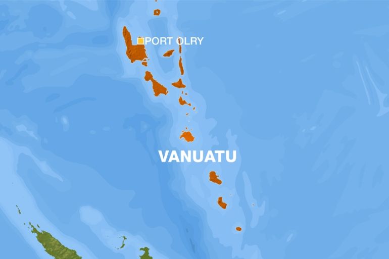
The quake hit at a depth of 131km at about 9am on Wednesday (22:00 GMT Tuesday), with its epicentre located 34km northeast of the South Pacific nation’s idyllic Port Olry, according to the United States Geological Survey.
Keep reading
list of 4 itemsHow is Afghanistan coping six months after deadly quakes?
‘Violent rumble’: 4.8 magnitude earthquake rattles New York City, northeast
Taiwan searches for 18 still missing after Wednesday’s earthquake
The Pacific Tsunami Warning Centre did not issue a tsunami warning following the quake.

Tarcisius Alguet, who runs the the Little Paradise Bungalows in Port Olry, told Al Jazeera that the earthquake seemed to last for about three minutes.
“First there was noise, and then the trees started to shake,” Alguet said. “Then, the ground started to move slowly.”
Alguet said he was not aware of any damage to buildings in Port Olry, located on the coast of Espiritu Santo island in the Sanma Province of Vanuatu.
Another hotel owner on the island said the earthquake was “a big one” but the shaking only lasted seconds.
“A few broken glasses, but no one hurt as far as I know,” they said.
A resident in the capital Port Vila, some 335km away, said the earthquake had also been felt there, but that there was no apparent damage.
The South Pacific island was jolted by a 6.8-magnitude tremor in late January and another of 6.5 in February, but there were no reports of damage.
Wednesday’s earthquake was the strongest recorded in the country since August 2010.
Vanuatu is in the region of the Pacific called the “Ring of Fire” known for dramatic earthquakes and volcanoes.
Additional reporting by Mark Worley and Andrew Thomas